This week on The Curse of Oak Island, a new theory points to the Money Pit’s location through ancient marker stones that indicate the guys have been searching in the right area.
Last week we saw experts Corjan Mol and Chris Morford explain their theory that the Templer Knights had buried ancient Christian relics from Jerusalem on Oak Island, and they even gave the guys a spot to dig.
Curse of Oak Island: The Master Plan
This week the team commenced digging and actually found stones that reassemble the paved area in the swamp.
However, this wasn’t their main focus this week, as they were given more info on the whereabouts of the Money Pit, which is something the guys can never resist.
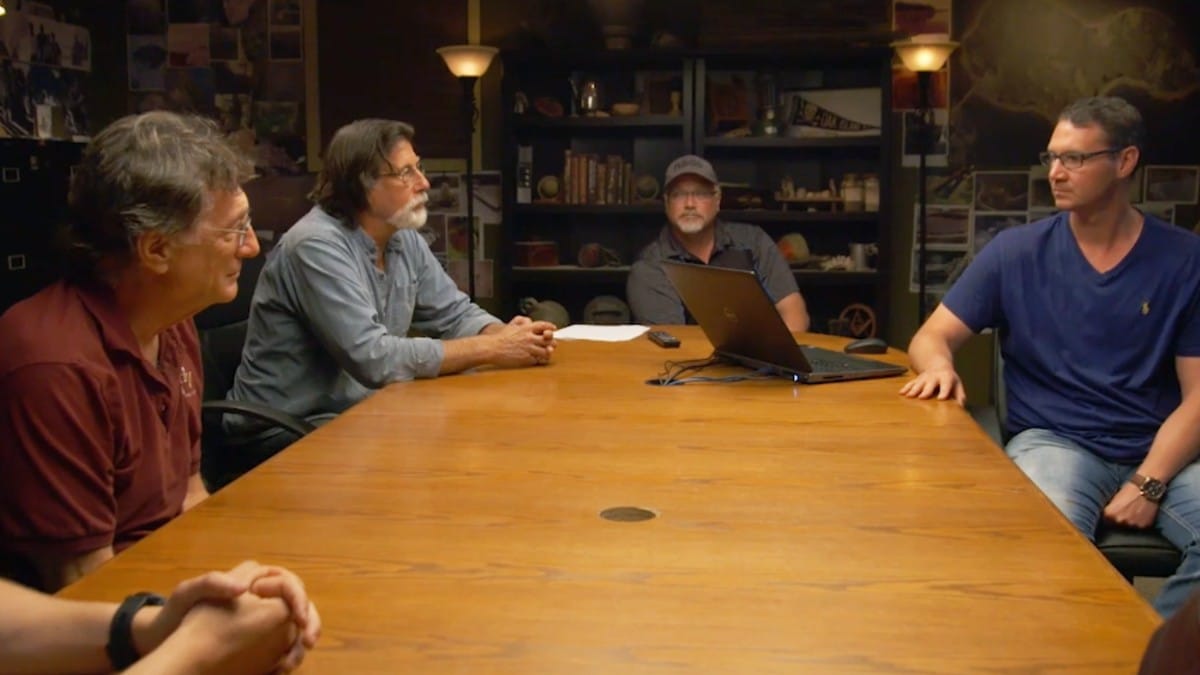
The team invited a brand new expert onto the show to pass on their insight. Erin Helton is an archaeologist who specializes in Geographic Information Systems, which basically means she’s an expert at analyzing maps.
Helton has been examining the famous Zena Halpern Knight’s Templar Map. The map, which was first brought to light by the author Halpern is thought to be a 14th-century map of Oak Island created by the Templar Knights.
Originally written in French, some believe the map could reveal the location of the Money Pit. And Helton is one of them.
In her presentation to the team, Helton explains that she thinks two objects marked on the map as ‘anchors’ are boulders that mark the Money Pit location.
She’s drawn a line between the two ‘anchors’ and other boulders and says that where the lines intersect is where the Money Pit lies.
Amazingly, she has the location just a few feet away from the RF1 borehole where the guys drilled last season. That particular borehole yielded lots of wood, which had the guys thinking they were super close to the Money Pit.
Helton left the guys with coordinates for the anchors and suggested they see if they could find any boulders.

The guys headed out with Surveyor Steve Guptill armed with his surveying stick and Helton’s coordinates. And sure enough, on the exact spot Helton supplied, they found a boulder.
It looked small, but that was only because most of it was buried.
They guys searched it for markings and found a very small fingernail-sized pockmark. Steve claimed that he’d left similar-sized marks while surveying.
Jack Begley pointed to the boulder’s proximity to the shoreline as evidence it could be spotted from the sea.
Rick was skeptical and impatient as ever; he suggested they check out the second coordinates. And sure enough, there was another boulder at the second spot, which appeared almost identical to the first rock.
There were some markings on it, but they couldn’t tell if it was natural or human-made.
Curse of Oak Island marker stones
The situation was summed up by Alex Lagina, who pointed out that we have two similar boulders at the exact coordinates supplied by Erin Helton, which means they could be the anchor stones.
But unfortunately, there are no obvious markings to set them apart from any other boulder.
However, Marty could be correct when he says the marks could have been placed there hundreds of years ago, and they could have faded over time.

Surely, the next step for the guys is to get back to the RF1 borehole area and start digging again, just this time, a few feet to the east!
The Curse of Oak Island airs at 9/8c on History.
Erin screwed up her presentation big time. When she first shows 15A it is in line with the east west markers and she refers to it as the “west anchor”. Later, her “X” to find the money pit shows 15A in a different position AND she draws a circle around the west anchor, which is different from 15A. Neither the new 15A nor the newly labeled “west anchor” are in the same place as the original 15A that is in line with the east-west markers. So, if they found stones “exactly” where Erin said they would be, did she maybe adjust her expectations based on what the lidar showed ? If the east-west marker is off by 5/100 of a degree, these rocks should be dead on and not move. Discovering the east/west markers was significant but it seems botched from there.